Efstathios Lymperis · Full Stack Software Engineer @GET
Building systems to monitor the Earth.
Building modern geospatial systems, full-stack web platforms, websites and data-heavy applications.
BSc Geology · AUTH / MSc Geoinformatics · NTUA
- Status
- Online
- Base
- 40°38′25″N 22°56′08″E
- UTC
- Active since
- 2019
01 / Method
From signal to decision
- 01
Observe
Satellites, UAVs, weather models and in-situ sensors. I started with UAV point clouds for rockfall hazard assessment, and still start every system from the data source.
- Earth Observation
- ECMWF / GRIB
- UAV surveys
- OGC services
- 02
Process
Automated pipelines that ingest, clean, model and store geodata, so the numbers are fresh every morning without anyone touching them.
- Python
- GDAL / Rasterio
- PostGIS
- Machine Learning
- 03
Publish
Web platforms, alerts and QGIS tools that put the result in front of the people who decide: ministries, regulators, companies and the public.
- React
- MapLibre
- Django
- QGIS plugins
02 / In operation
Systems watching right now
All projects →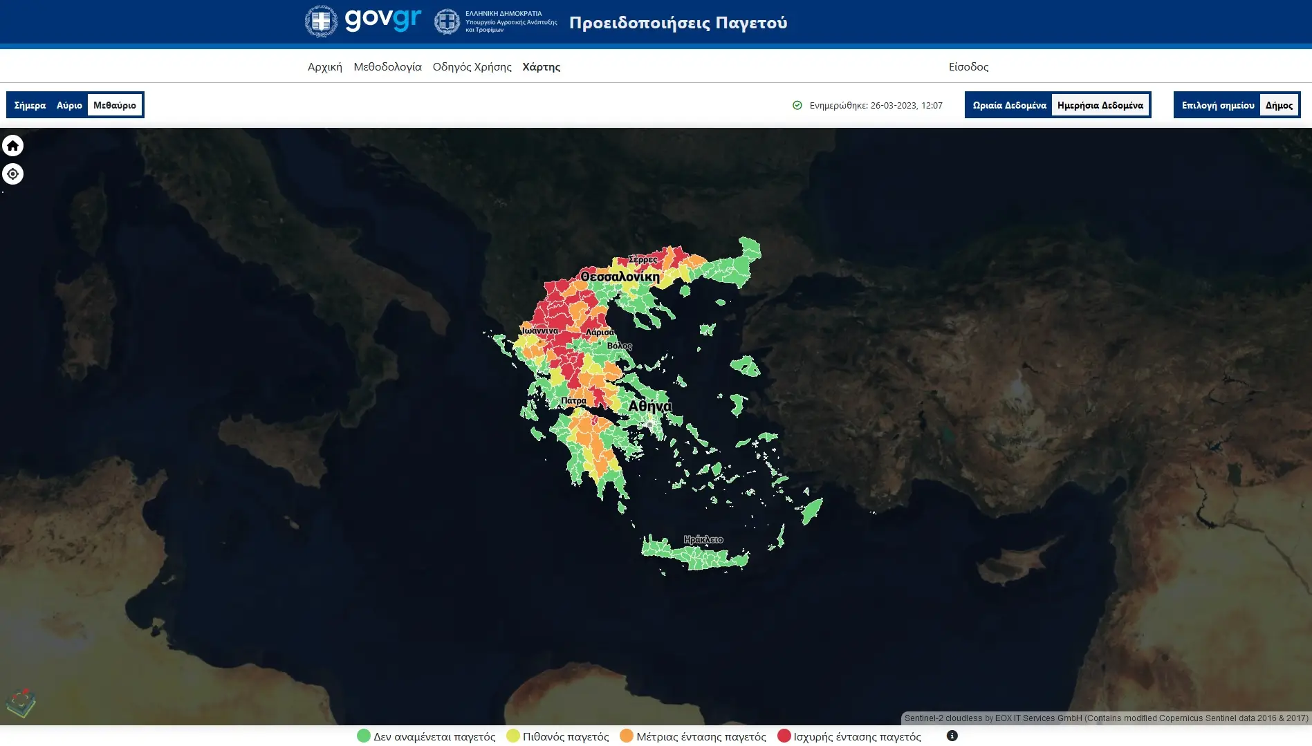
Signal: ECMWF forecasts
Frost Alerts
Frost risk alerts for the Greek Ministry of Agriculture, on a terrain-aware 500 m grid with personalised notifications.
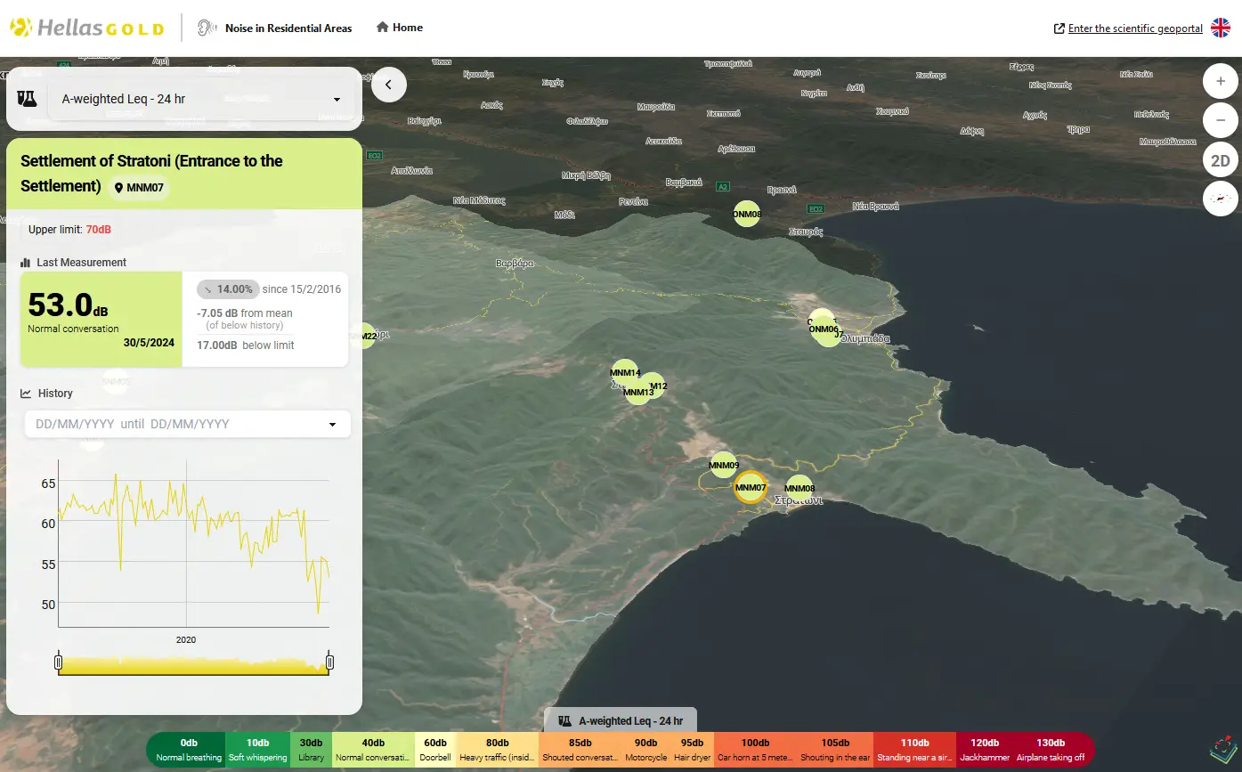
Signal: In-situ sensors
Environmental Monitoring Portal
Next-day, 3D monitoring of the key parameters of a mining company's environmental and rehabilitation programme.
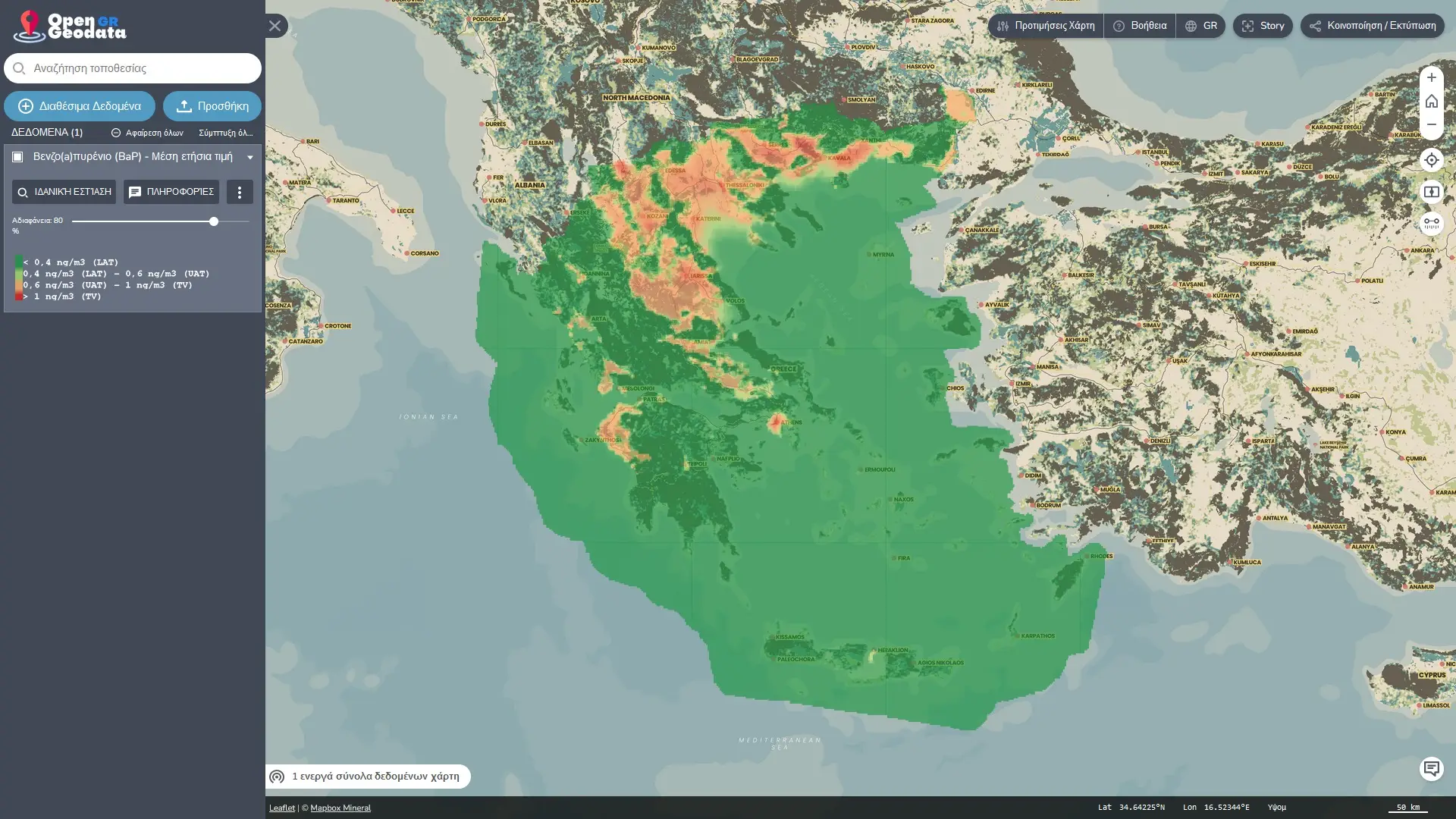
Signal: Public geodata
Open Greek Geodata
One portal that unifies the scattered government and research geodata sources for Greece.
03 / Ground truth
Rooted in fieldwork
Before writing software, I was a geologist flying UAVs over the slopes of Lesvos and modelling rockfall hazard from 3D point clouds. That still shapes how I build: the data comes from somewhere real, and the people using it need to trust it.