Greek Data QGIS
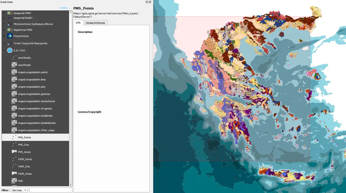
Greek Data is a QGIS plugin that allows users to access and visualize data from various sources in Greece. The plugin is designed to be user-friendly and easy to use, with a simple interface that allows users to quickly access the data they need. Version 2.0 of the plugin was just released, featuring a new and improved interface, as well as new data sources.
Sources
The Greek Data QGIS plugin provides access to a wide range of data sources, including:
- Ministry of Environment and Energy (YPEN)
- Regulatory Authority for Water, Waste (RAAEY)
- Hellenic Cadastre
- E-Poleodomia
- National Authority on Geological & Mining Studies (EAGME)
A Source represents a geospatial data server, either OGC-compliant or ArcGIS REST. Sources are fetched from 'sources.json', at the root of the Github repo. If the local json file is not up to date, the plugin will fetch the latest data from the Github repo.
Caching
Each source is queried for available layers which are then cached in the local json file. This cache is not overwritten when fetching the latest sources. This cache speeds up the discovery of layers, and enables the user to search across the layers of all sources. It means though this json file will get quite big, and impact the load time of the plugin. By default this cache is invalidated against the server once a week. This feature is EXPERIMENTAL. It will be improved in the future, but it may also be removed if it proves to be a bad idea. Please provide your feedback!
Contributing
Contributions are welcome! If you have any ideas for new features, or if you find any bugs, please open an issue on the Github repo. If you would like to contribute code, please fork the repo and submit a pull request.
You can even contribute by suggesting new sources!
I would like to thank all the people that have thus far notified me about bugs, sent screenshots & tracelogs, and provided feedback in general. I am grateful for your help!